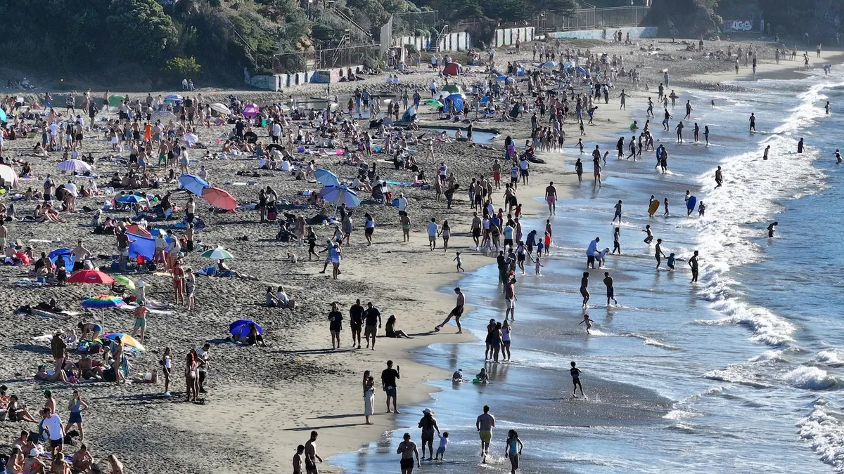
Temperatures topped 104°F in Southern California as record heat spread west. Flood watches remained in effect along parts of the Gulf Coast.
More than 35 million people were under heat alerts in California as a multi-day October heatwave continued across nearly the whole state. The National Weather Service said extreme heat warnings for Los Angeles and San Diego were scheduled to remain in effect until 8 p.m. local time on Thursday. Heat advisories were also posted for San Francisco and Sacramento.
Temperatures again topped 90°F across much of California on Sunday, with some areas exceeding 100°F. Downtown Los Angeles was forecast to reach about 104°F and Bakersfield 103°F, while San Diego and Sacramento were expected to climb into the upper 90s. Some readings were as much as 20°F above normal for early October. Warm nights offered little relief in urban areas.
At least eight Southern California cities set daily temperature records on Saturday. Anaheim and San Diego both reached 105°F, while Santa Ana hit 107°F. Vista, north of San Diego, reached 108°F, breaking a daily record and tying its all-time high from June 30, 1985.
The heat was expected to spread across much of the West over the next 24 hours. Monday highs could reach the upper 80s as far north as southern Idaho and Montana, challenging daily records in Boise and Billings. Denver was also forecast to reach the upper 80s.
Meanwhile, flood watches remained in effect along the Gulf Coast and Southeast, from southeastern Louisiana to southern Georgia. The risk of excessive rain and flash flooding was rated 2 out of 4 from Louisiana through the Florida Panhandle and up to South Carolina. Heavy rain could also trigger dangerous flash flooding in parts of South Texas. Forecast totals were 2 to 6 inches in parts of the northern Gulf Coast and Florida Panhandle, with isolated amounts of 8 to 10 inches possible.