
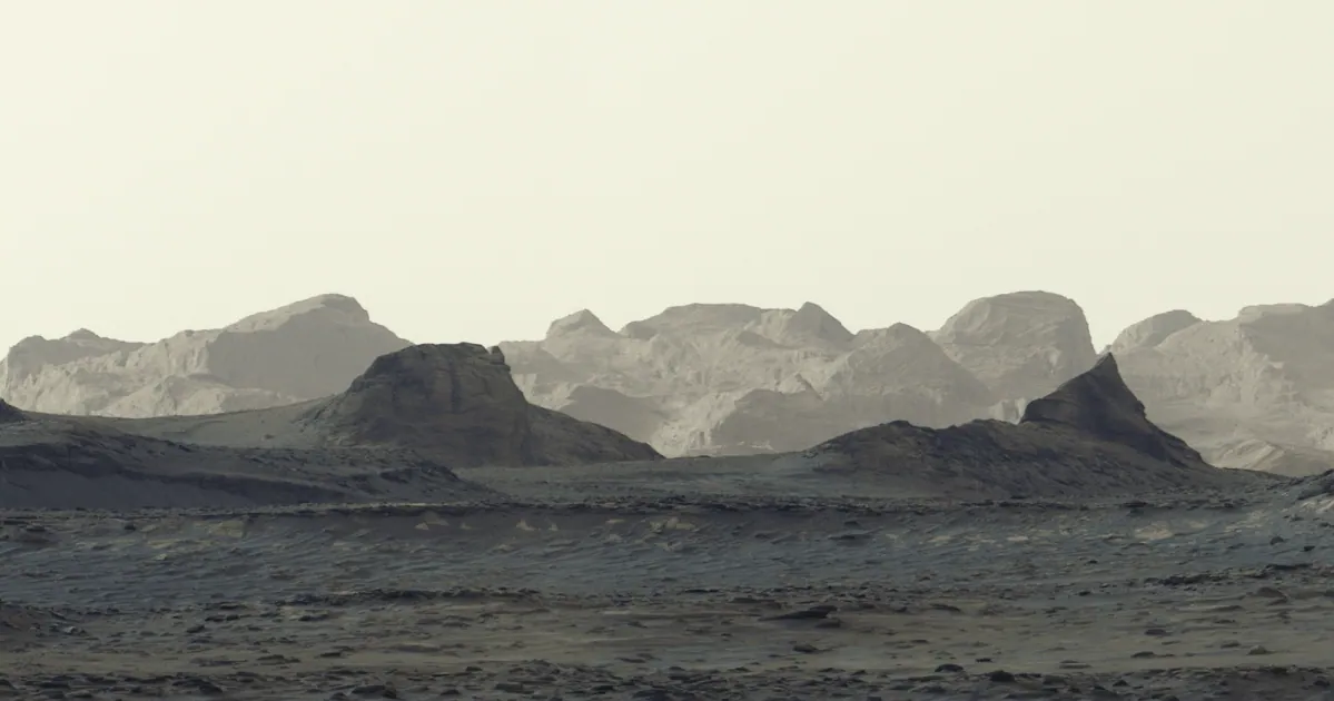
Six images show wind-shaped landforms near Mount Sharp; NASA says studying them can help reconstruct Mars’ geological past.
NASA’s Curiosity rover captured a dawn panorama of distant cliffs near Mount Sharp. Its Mastcam recorded the scene on August 11, and six frames were stitched together after reaching Earth. NASA processed the image without adjusting the white balance to preserve the appearance of early morning on Mars.
The horizon shows brightly lit, wind-carved ridges known as yardangs. Their layer extends about 16 kilometres along the northwestern part of Mount Sharp, a mountain about five kilometres high. Curiosity has been climbing the slope since 2014 and recently reached an elevation gain of one kilometre, its highest point on Mars so far.
The mountain is made of layers of rock, each recording a different period in Mars’ history. Studying them has helped scientists learn about ancient lakes and rivers that covered this area billions of years ago. When the water dried up, it left salty minerals; later, wind may have removed some deposits and shaped the yardangs.
Scientists do not yet know exactly how the layer formed. Curiosity project scientist Ashwin Vasavada noted its unusual colour and the angle of its strata, and said one hypothesis is that it consists of ash from ancient volcanic eruptions. That remains a possibility rather than a confirmed explanation.
The rover is continuing its extended mission to study the mountain’s geology. The team expects it to reach the base of the yardangs during 2027, where its robotic arm could gather new data. Its route is also expected to cross layers rich in sulfates and carbonates, minerals that may indicate an ancient drying surface.